Marine
Protected
Areas
Who owns
the fish?
How much
can we catch?
Scroll to learn

Who owns
the fish?
How much
can we catch?
Scroll to learn
When we look at a map, we often focus on the land. The place where we live. But take a step back, and you will notice that many maps are more blue than green.
Humans have relied on this blue to provide food for countless generations. The waters around the Channel Islands are no different. But the ways in which we have harvested from the sea—and our impact on it—have definitely changed.
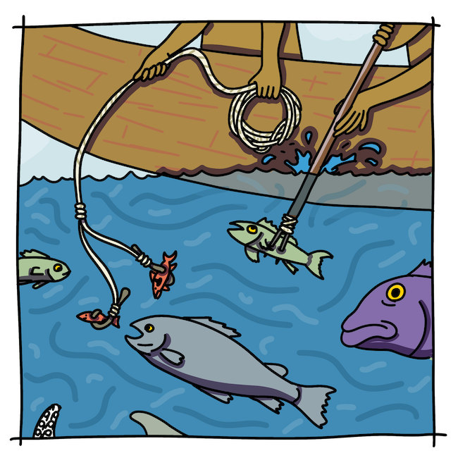
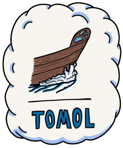
For thousands of years, Chumash fishermen used hooks and harpoons to bring home the daily catch, often from the bows of their redwood plank tomols.
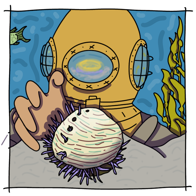
Beginning around 1900, Japanese dove for prized abalone in new metal suits that allowed them to go deeper than ever before.
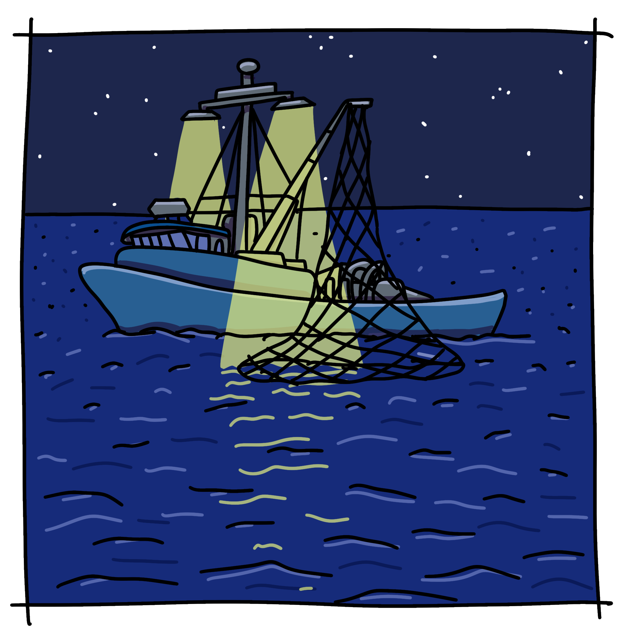
Today, squid are one of the most prized sea creatures around the islands. Fleets of boats use giant lights to lure them to the surface at night, where they are scooped up in nets.
For thousands of years, Chumash fishermen used hooks and harpoons to bring home the daily catch, often from the bows of their redwood plank tomols.
Beginning around 1900, Japanese dove for prized abalone in new metal suits that allowed them to go deeper than ever before.
Today, squid are one of the most prized sea creatures around the islands. Fleets of boats use giant lights to lure them to the surface at night, where they are scooped up in nets.


As human populations have grown, so too has the amount of life that we harvest from waters like those around the Channel Islands.

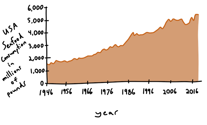
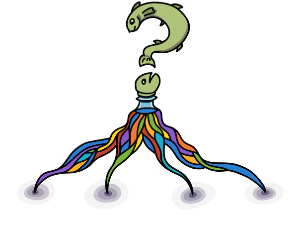
How much seafood can we catch while still allowing enough to swim free and sustain their populations? How can we measure and control our impacts on that blue part of the map?
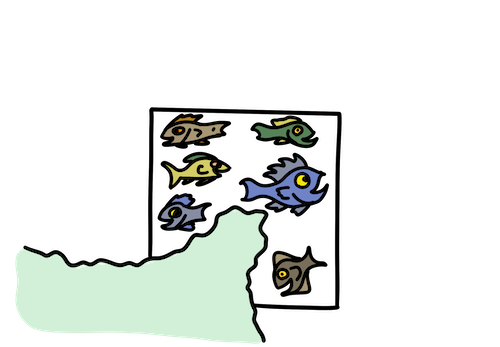
There are many ways we can conserve the creatures in our oceans, maintaining healthy populations while also harvesting sustainably. One way is to create “protected areas:” zones on the map where catch is limited.
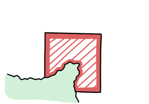
A Marine Protected Area is a clearly defined piece of ocean where certain types of fishing are limited or banned.
MPAs are created by bringing together scientists, fishermen, local tribes, and recreational users to decide how to manage the water for all…including those fish who call it home.
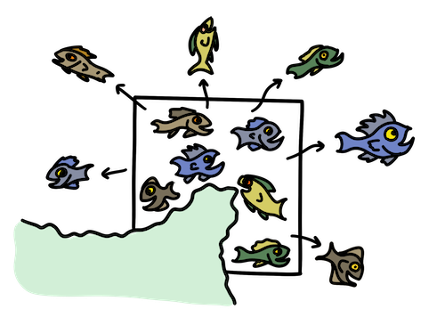
Within an MPA, fish populations are able to recover, bringing their numbers back to sustainable levels.
As their numbers recover, these growing fish populations often expand outside of the MPA. This gives fishermen a new and more sustainable catch in surrounding waters.
Scientists monitor fish populations inside and outside the MPA. This allows them to evaluate whether fishing regulations are maintaining a sustainable population.
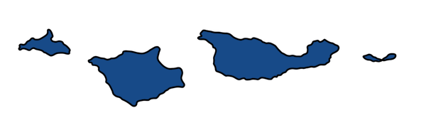
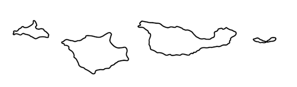
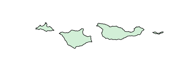
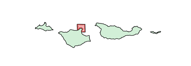
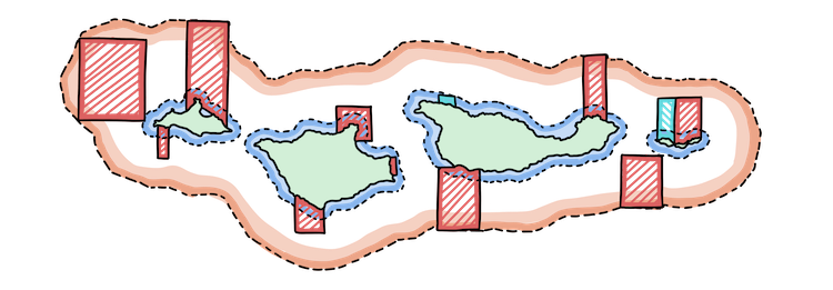
The Channel Islands are surrounded by a network of MPAs. Combined with the National Park and National Marine Sanctuary, these designated protected areas allow us to better manage that blue that fills much of this map.
State Marine Reserve (MPA)
State Marine Conservation Area (MPA)
Channel Islands National Marine Sanctuary
Channel Islands National Park
MPAs are just one of the tools that we can use to better manage the resources in those blue expanses on the map. Individual behaviors, purchasing decisions, and global cooperation are all pieces of the global management puzzle. Here are a few ways that you can explore the sustainability of the fish on your plate:
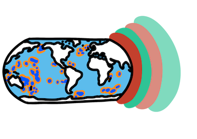
MPAs aren’t just a Channel Islands thing. Check out a map of other similar protected areas around the world.
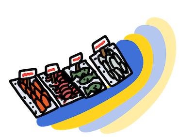
One way to figure out what fish are doing well is to ask the fishermen. Go to your local fish market and ask what local catch is sustainable.
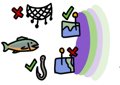
At the grocery store and don’t know what to buy? Check out the Monterey Bay Aquarium’s Seafood Watch to learn what fish are sustainable choices.